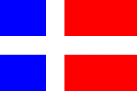
Private/Passenger
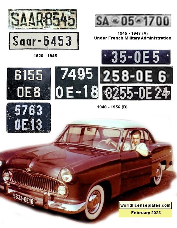
(A) Plates were black on red
(B) OE = Organisation Économique. Last one or two digits denoted the city or district.
(B) OE = Organisation Économique. Last one or two digits denoted the city or district.
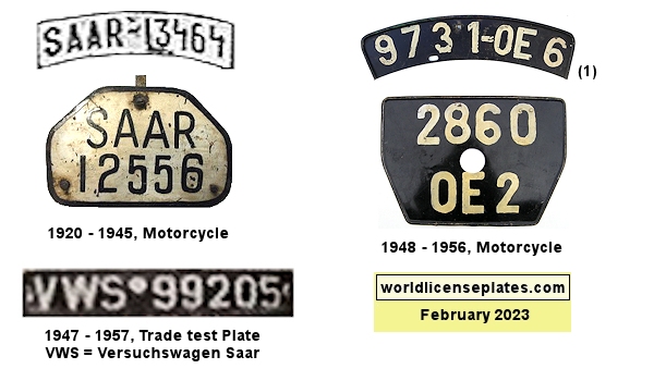
Non-Passenger/Other
Jurisdiction Information
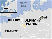
| Location | Westen Europe |
| Main Language | German |
| History | Established in 1920 in accordance with the Treaty of Versailles.
It comprised portions of the Prussian Rhine Province and the Bavarian
Rhenish Palatinate. The area was put under the control of the League
of Nations for 15 years. After this period a plebiscite was held in
1935 and 90.3% of those voting wished to join Germany.
After World War II the Saarland came under French administration. In 1954, France and Germany offered to establish an independent Saarland but a second plebiscite rejected this plan. On October 27, 1956, the Saar Treaty established that Saarland should be allowed to join Germany which it did on January 1, 1957. |
| International Oval | SA |
| ISO Code | (none) |
Credits
Photo & data contributors
(1) Jim Fox/Greg Gibson