HomeBrowse A–ZRegionsUpdatesAbout

Private/Passenger

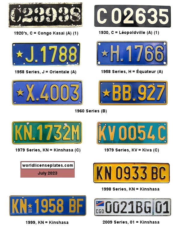
Private/Passenger license plates
(A) Belgian Congo (1920's - 1960)

(B) Republic of Congo (Léopoldville) (1961 - 1970) - Prefix is serial

(C) ZAIRE (1971 - 1997)

Non-Passenger/Other
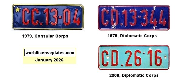
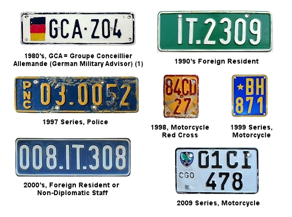
Non-Passenger/Other license plates

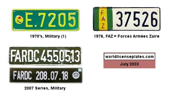
Military Forces

Military Forces license plates

Odds & Ends

Odds & Ends license plates

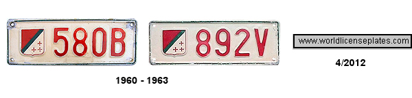
Katanga (1960 - 1963)

Katanga (1960 - 1963) license plates

Country Information

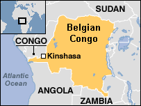
Map of Democratic Republic of the CONGO
LocationCentral Africa
CapitalKinshasa
Main ReligionChristianity (Catholicism and Protestantism)
National LanguageFrench. Other main languages are Lingala, Kingwana, Kikongo and Tshiluba.
HistoryCongo is a name shared by two neighboring countries in Central Africa, largely drained by the Congo River and usually distinguished by their full official names and occasionally by adding their capital cities:
  • The Republic of the Congo (RCB), also known as "Congo-Brazzaville" and locally as "Braza".

  • The Democratic Republic of the Congo (DRC, DR Congo or "Congo-Kinshasa" - this page) is the larger of the two countries. It was once the personal property of King Leopold II of Belgium, when it was known as the "Congo Free State", and later a Belgian colony when it was renamed to Belgian Congo (1920's - 1960).

    In 1961, it became independent as the Democratic Republic of Congo (commonly known as the Republic of Congo [Léopoldville]) which changed its name to Zaire from 1971 to 1997. (During this time the "other" Congo came to be known simply as "Congo".)

    In 1960, Katanga Province declared its independence and issued its own license plates. It rejoined DR Congo in 1963 and was renamed Shaba province but later reverted to Katanga in 1997.

    In 1997, Zaire changed it's name back to the Democratic Republic of Congo.

International OvalCGO
ISO CodeCGO

Credits

Photo & data contributors
(1) Jim Fox/Greg Gibson